“The Baltimore Francis Scott Key Bridge take-down was a trillion-dollar costly event, ongoing, and yet all culpable persons remain unnamed, kept totally anonymous, with some reportedly having been slyly ‘escaped’ from the country! There is, in fact, zero publicly-verifiable evidence that any genuine Captain, Pilots or Crew ever existed: Was DALI a remote-controlled ghost-ship on kamikazee mission from its outset? No waves or creaking metal nor splash-down sounds at all were recorded nor (initially) noted by any (reportedly) nearby persons; cameras recorded zero shaking, seismometers measured zero vibration. Anomalies and oddities galore overwhelm the aftermath, beguile reason, confound explanation. No interviews exist with supposed survivors; “family and friends” etc interviews reveal ‘dupers-delight’ micro-facial-expressions with other hallmarks suggestive of fraud. No verifications of any supposed deaths have yet been publicized. Rampant is the extremely suspicious damage with blatantly visible, verifiable anomalies (including massive, five-storys tall fireballs in both original night-time videos) totally inexplicable (and wholly ignored) by official theory or story. Grand payola galore is already underway with loads more coming. This event appears to involve another shabby yet audacious crime, militarized from gov to salvage to rebuild. There was no rescue skiff on scene as required by OSHA. No horn blasts from ship warned of imminent collision. The DALI ship departed despite (supposed) dire electrical problems, illegal at any time and even more highly unusual in the cold, dark night-time (part #94, first ‘after-sundown departure’ in two years). It goes on and on and on. Criminal was this manufactured event, through and through, and that’s before considering the absurd number of other anomalies ignored by the complicit, owned, ‘kept-pet’ mass-media…”
Part #91 adapted from a video comment.
Don’t miss the apparent precursor Tampa Bay Sunshine Skyway Bridge take-down test-run in 1981.
Index . Oddity List . Official Story . Summary
5-10 feet of mud beneath shipping channel
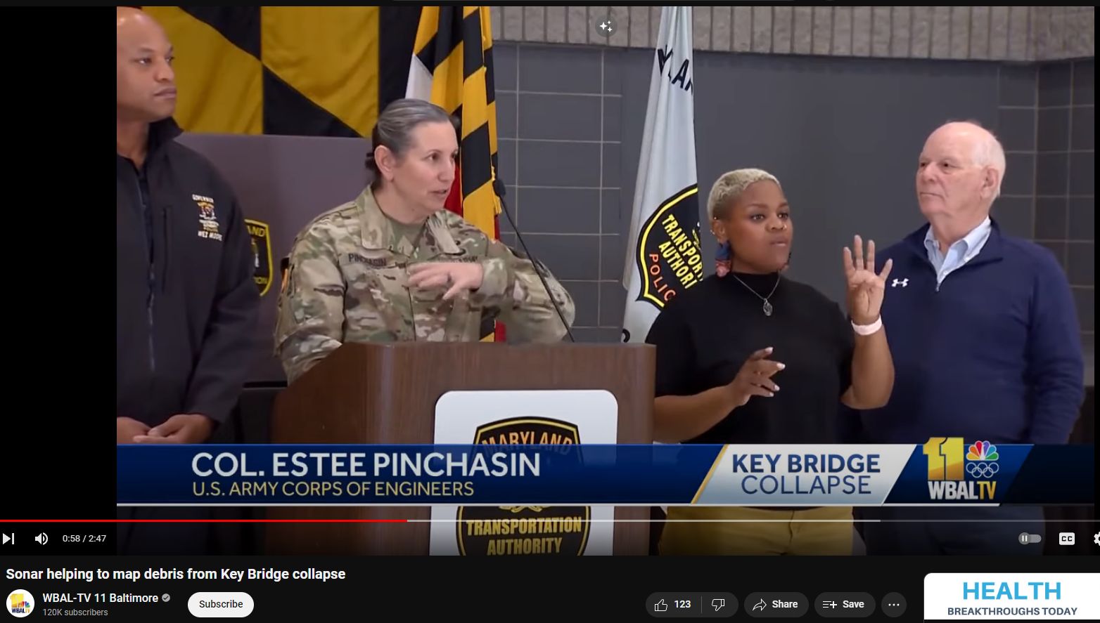
“It’s cloudy because of the 4-5 feet of mud and then just the loose bottom of the Patapsco River.” Col Estee S Pinchasin, 0:54 in
This relates directly to the Massively Missing Material and the suggestion of trusswork somehow appreciably ‘disappearing into the mud’ and even pancaking (911 trigger-word)!
Strangely, the released SONAR images show degradation of fine detail that was attributed to mud buildup. A “priority number one” work truck was recovered with not a hint of mud on it, nor appreciable damage for that matter (none had fallen onto it; all windows intact; looked brand-new, etc.). No recovered trusswork thus far has shown any presence of mud whatsoever.
See Part #50 – Shipping Channel, Depth, Mud, Clearance
The most common depth of mud and soft clay at the bottom of a federally dredged shipping channel varies depending on the specific location and environmental conditions. Generally, the sediment consists of a mix of materials such as gravel, sand, silt, and clay, with soft clay and mud being prevalent in many areas. Typically, these layers can be found at varying depths, often requiring dredging to maintain navigable channels for shipping.
For example, in federally maintained navigation channels, periodic maintenance dredging is essential to remove the sediment that accumulates over time. This sediment, including mud and soft clay, can often reach depths of several feet, necessitating regular removal to keep the channels clear and safe for maritime traffic. In some cases, the depth of dredged material can be significant, with millions of cubic yards removed annually to maintain the required channel depth.
The U.S. Army Corps of Engineers (USACE) is primarily responsible for maintaining these navigation channels through regular dredging operations. The sediment removed typically includes a mixture of materials, with soft clay and mud being a substantial portion, especially in areas where fine-grained sediments are common.
In the Baltimore shipping channel, the accumulation of mud and soft clay at the bottom is a significant concern due to the need to maintain navigable depths for large vessels. The typical depth of this sediment can vary, but it often requires regular dredging to prevent it from becoming too shallow for safe navigation.
The U.S. Army Corps of Engineers (USACE) is responsible for maintaining these channels and conducting regular dredging operations. According to the USACE, sediment, including mud and soft clay, can accumulate to several feet in depth. Maintenance dredging is performed to remove this sediment and ensure the channel remains deep enough for shipping. For the Baltimore Harbor, the typical maximum depth of mud allowed to accumulate before dredging is necessary is around 2 to 3 feet, but this can vary depending on specific conditions and sedimentation rates in different parts of the harbor.
The goal is to maintain the channel at its authorized depth, which for the main shipping channel in Baltimore is typically 50 feet. Regular monitoring and hydrographic surveys help determine when and where dredging is needed to maintain these depths and ensure safe and efficient maritime operations.
The maintenance dredging schedule for the federal shipping channel into the Port of Baltimore involves regular dredging to ensure the channels remain navigable for large vessels. The most recent dredging project began in late November 2023 and was expected to be completed by March 2024. This project involved dredging approximately 1.6 million cubic yards of material from the Brewerton Channel Eastern Extension and the Curtis Bay Channel. The dredged material is primarily mud, silt, sand, and shell, which is then transported to designated placement sites such as the Paul S. Sarbanes Ecosystems Restoration Project at Poplar Island and the Cox Creek Dredged Material Containment Facility.
The depth of the shipping channel is checked regularly through hydrographic surveys conducted by the U.S. Army Corps of Engineers (USACE). These surveys are essential to monitor sediment accumulation and ensure the channels are maintained at their authorized depths. The surveys help determine the need and schedule for dredging operations to keep the channel at the required depth, typically around 50 feet.
For more detailed information and updates on the dredging activities and schedules, you can visit the USACE Baltimore District website.