“The Baltimore Francis Scott Key Bridge take-down was a trillion-dollar costly event, ongoing, and yet all culpable persons remain unnamed, kept totally anonymous, with some reportedly having been slyly ‘escaped’ from the country! There is, in fact, zero publicly-verifiable evidence that any genuine Captain, Pilots or Crew ever existed: Was DALI a remote-controlled ghost-ship on kamikazee mission from its outset? No waves or creaking metal nor splash-down sounds at all were recorded nor (initially) noted by any (reportedly) nearby persons; cameras recorded zero shaking, seismometers measured zero vibration. Anomalies and oddities galore overwhelm the aftermath, beguile reason, confound explanation. No interviews exist with supposed survivors; “family and friends” etc interviews reveal ‘dupers-delight’ micro-facial-expressions with other hallmarks suggestive of fraud. No verifications of any supposed deaths have yet been publicized. Rampant is the extremely suspicious damage with blatantly visible, verifiable anomalies (including massive, five-storys tall fireballs in both original night-time videos) totally inexplicable (and wholly ignored) by official theory or story. Grand payola galore is already underway with loads more coming. This event appears to involve another shabby yet audacious crime, militarized from gov to salvage to rebuild. There was no rescue skiff on scene as required by OSHA. No horn blasts from ship warned of imminent collision. The DALI ship departed despite (supposed) dire electrical problems, illegal at any time and even more highly unusual in the cold, dark night-time (part #94, first ‘after-sundown departure’ in two years). It goes on and on and on. Criminal was this manufactured event, through and through, and that’s before considering the absurd number of other anomalies ignored by the complicit, owned, ‘kept-pet’ mass-media…”
Part #91 adapted from a video comment.
Don’t miss the apparent precursor Tampa Bay Sunshine Skyway Bridge take-down test-run in 1981.
Index . Oddity List . Official Story . Summary
SOURCE http://www.youtube.com/watch?v=I0AoFvZgqdw
Video says the driver was going to work in Dundalk; however, the video shows travel southbound, away from Dundalk. No potholes are seen. Not saying they weren’t there, just that this video proves nothing.
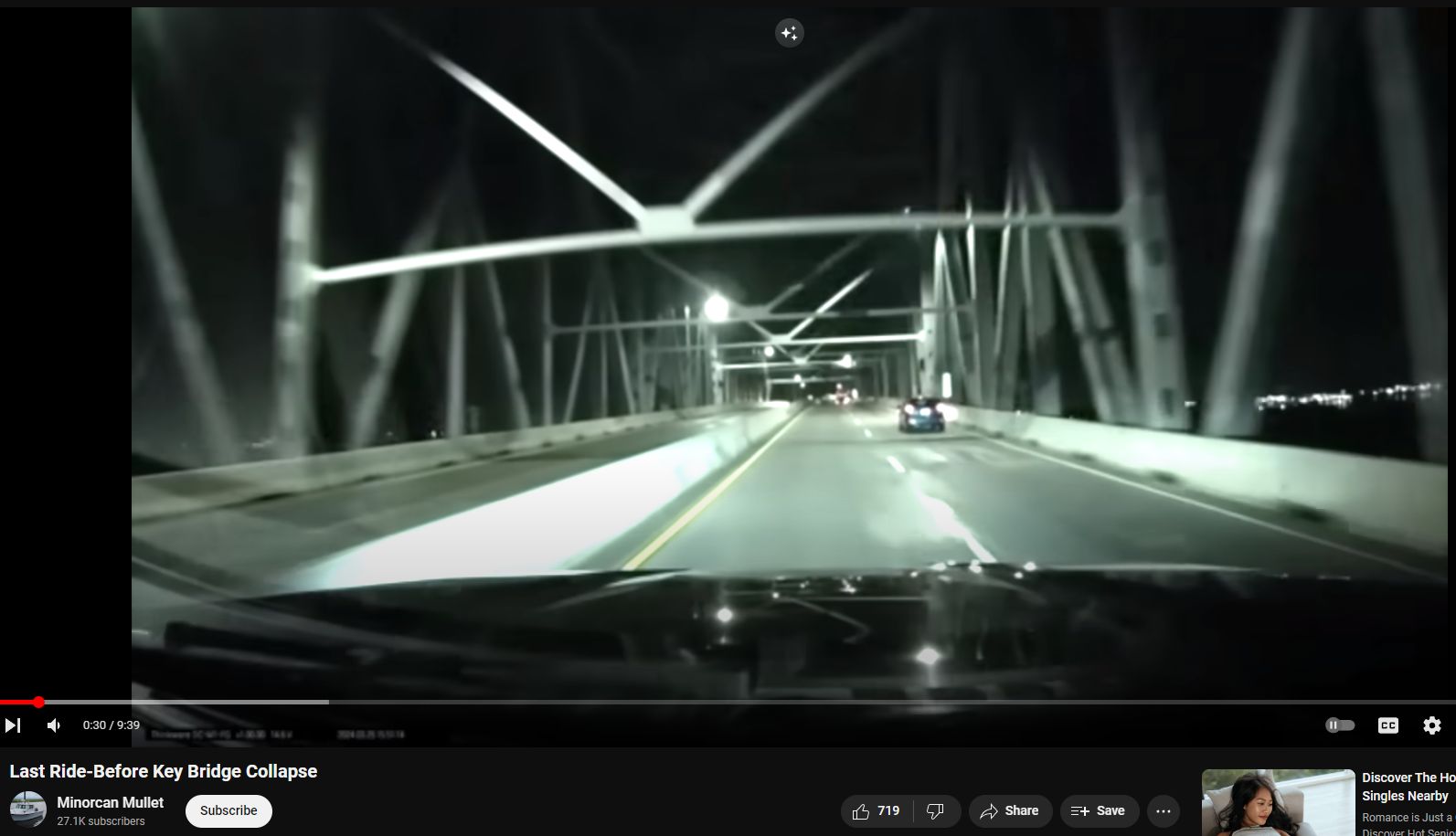

The beginning of the video shows orange road barrels as if there may be preparations for road-work on the northern-end lower portion before the trussed portions.
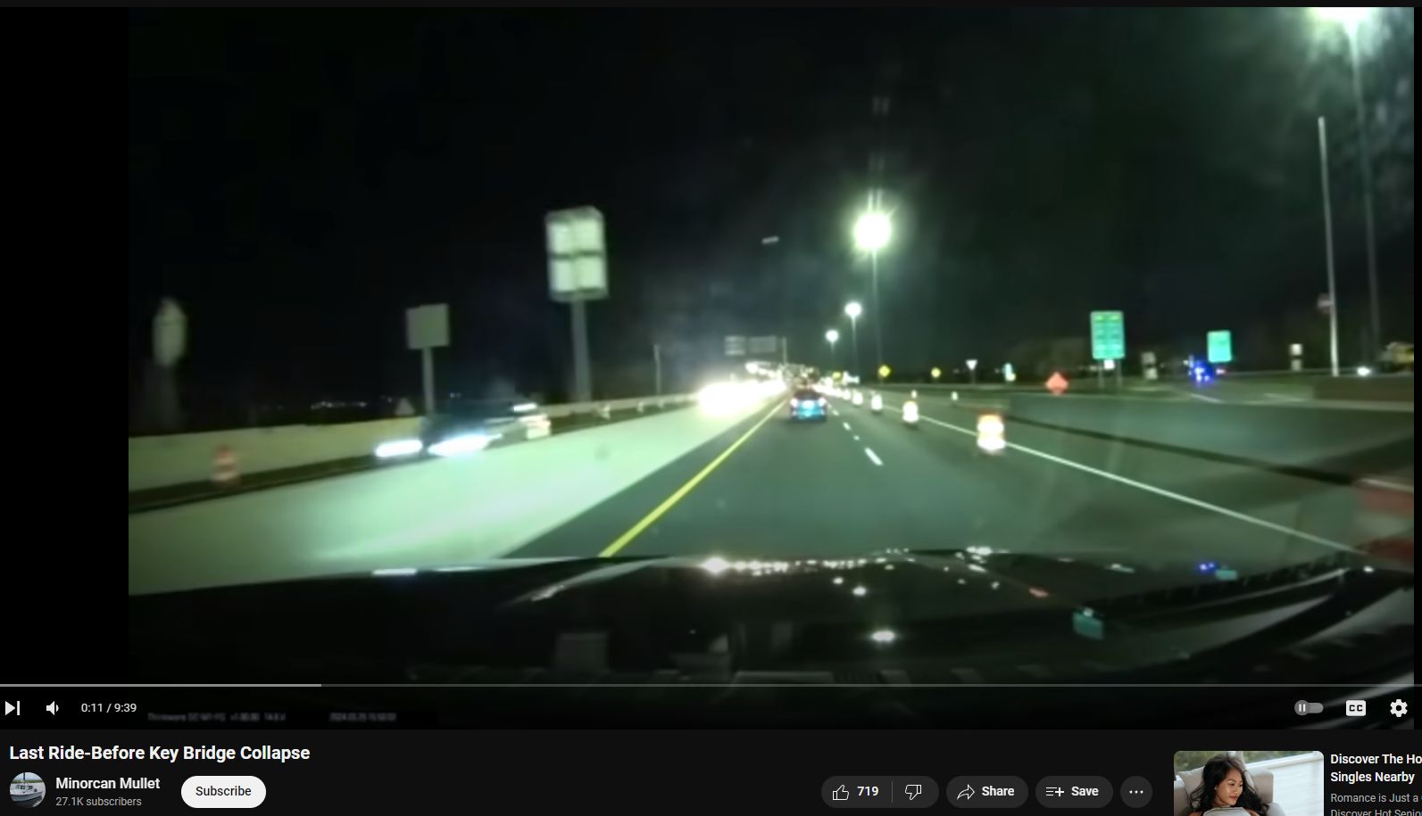
However, daytime google maps view from 1-year prior shows same/similar barrels at the same location.
Google maps https://www.google.com/maps/@39.2293372,-76.5115152,3a,75y,242.02h,84.93t

Release of the full version, presumably increasing clarity of timing and location, is promised after all the victims “come home”.
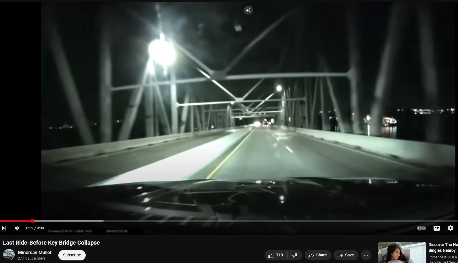
No major potholes visible in daytime footage
Most interesting is that no major potholes are visible in the footage.
Is it normal for a state suffering an admitted $3.3 Billion dollar budget shortfall to have workcrews mending small potholes? Prompt attendance to small details probably shows savvy bridge maintenance. But, recall that a few months prior, Md Gov Wes Moore had announced a $3.3-billion dollar budget shortfall. See Part #77.
All google street-view imagery removed
Also, google has removed all “street view” imagery – it is no longer possible to virtually visit or ‘drive over’ the bridge. Fortunately, we saved a bunch of pictures showing the trusswork, etc. See Part #76